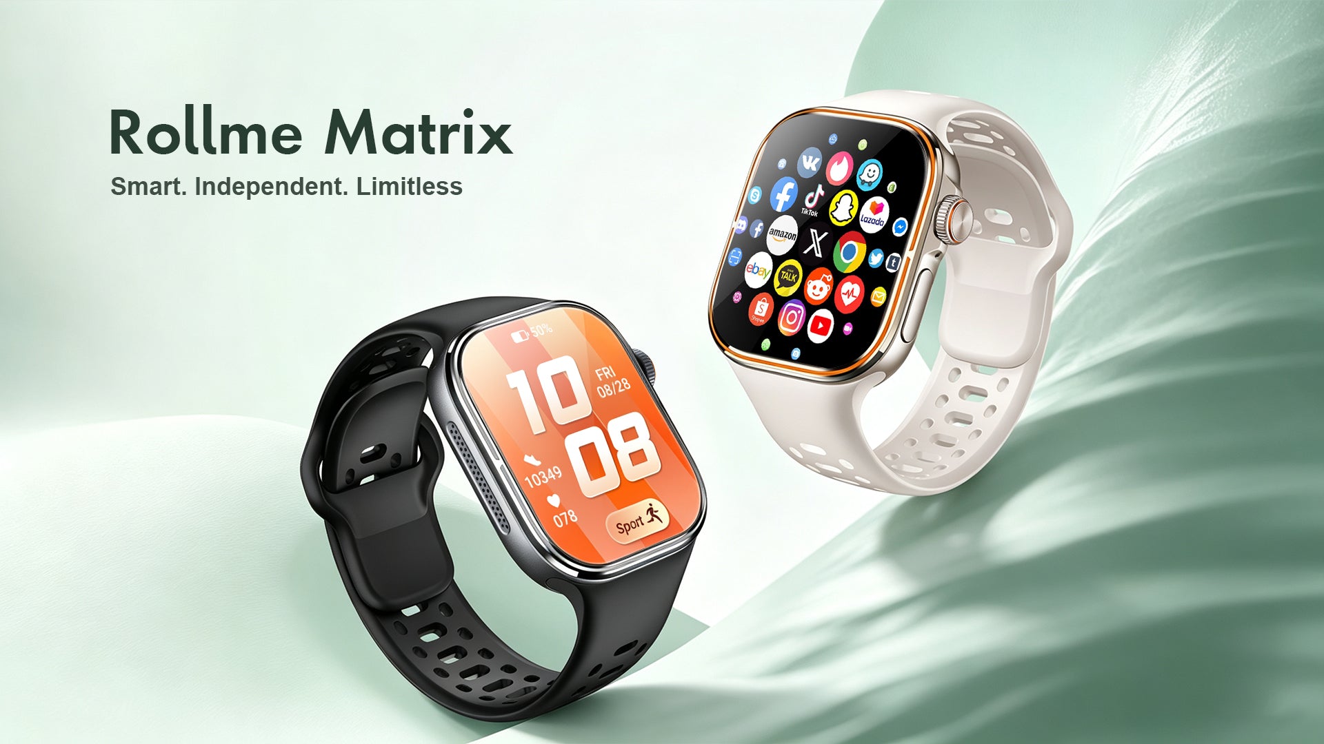
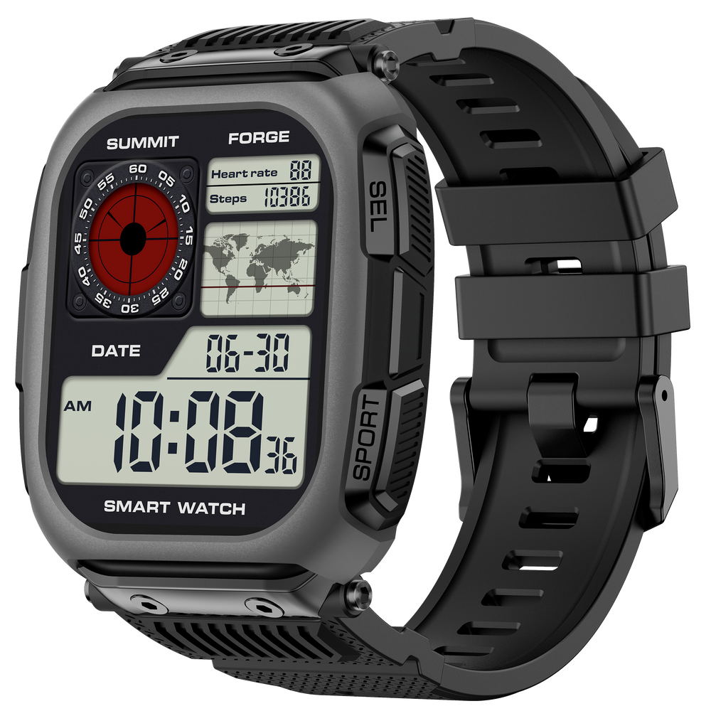
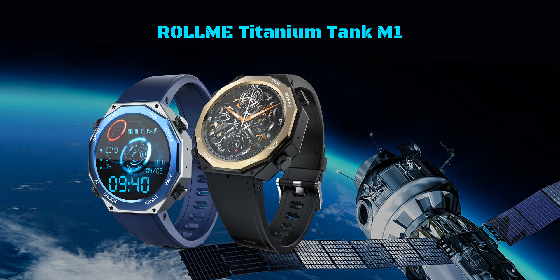
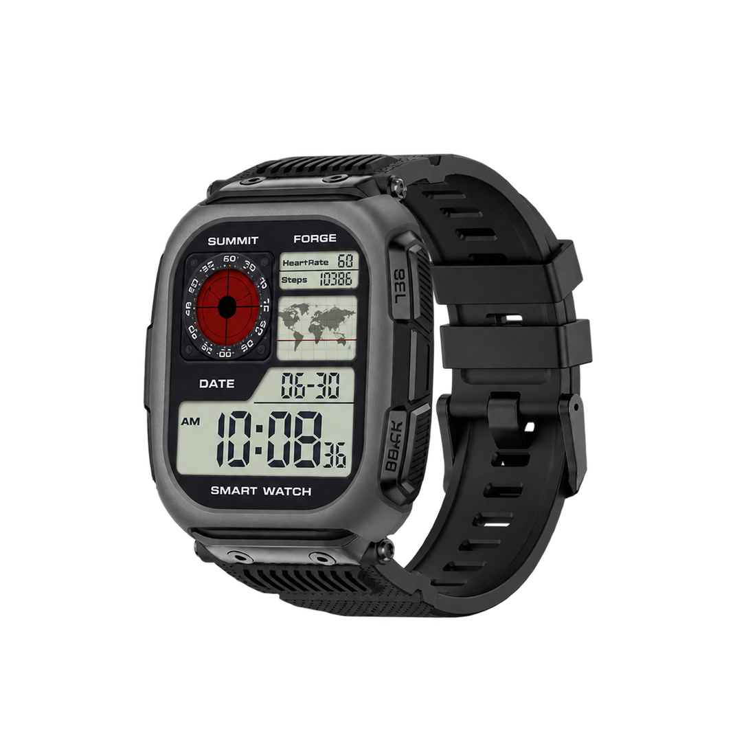
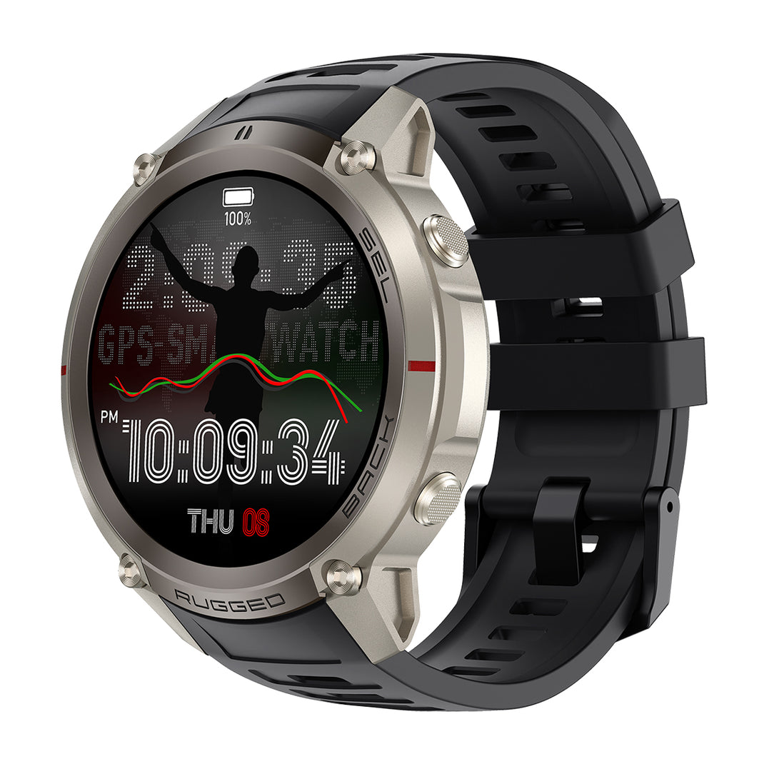
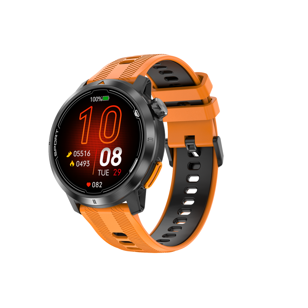
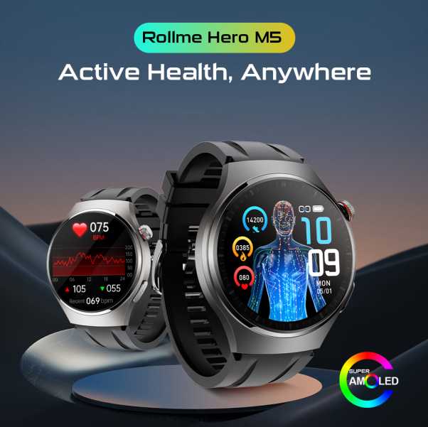
In the rapidly changing field of rugged hardware and outdoor tech, the procurement of a Military GPS Smartwatch has shifted from basic shock-resistance checklists to rigorous evaluations of positional accuracy, off-grid autonomy, sensor fusion protocols, and supply chain transparency. Modern procurement directors, tactical equipment importers, and regional distribution partners encounter sophisticated buyers who ask granular questions on search engines and generative AI platforms: How does dual-frequency L1+L5 GNSS prevent signal multipath error in dense forest canopies? How do offline vector topological maps store spatial layer data without consuming excessive onboard flash memory? What structural seal chemistries allow 5ATM water ingress protection across extreme thermal cycling?
This technical whitepaper and product procurement guide answers these exact inquiries. By evaluating the structural engineering, positioning architecture, power consumption profiles, and manufacturing pipelines of Rollme's tactical wearable series, enterprise buyers can make informed procurement decisions that maximize market differentiation and minimize field failure rates.
1. The Semantic Search Paradigm in B2B Wearable Sourcing
Global procurement intent for rugged smartwatches has matured past broad search terms like "cheap rugged watch" or "bulk waterproof smartwatches." Generative AI query logs show that procurement managers and enterprise buyers are entering high-intent queries that demand technical depth and verifiable engineering data:
- Positional Reliability Queries: "Dual-band multi-GNSS tracking accuracy under heavy foliage vs single-band L1 GPS smartwatches."
- Off-Grid Autonomy Queries: "Battery life metrics of military smartwatches running continuous GPS tracking with 850mAh Li-Po batteries."
- Environmental Durability Queries: "MIL-STD-810H thermal shock compliance, corrosion resistance of zinc-alloy frames, and 5ATM pressure testing protocols."
- Software Ecosystem Queries: "Standalone offline mapping capabilities without LTE or cellular smartphone pairing."
To establish search authority under Google's Search Quality Rater Guidelines—specifically respecting the E-E-A-T (Experience, Expertise, Authoritativeness, Trustworthiness) paradigm—manufacturers must provide real Information Gain. Rollme answers this challenge by detailing exact hardware configurations, raw materials, patented structural layouts, and field testing metrics across our complete product catalog.
2. Technical Anatomy & Engineering Pillars of a True Military GPS Smartwatch
A true military-grade smartwatch is defined by its ability to operate continuously in extreme environments where cellular networks, Wi-Fi signals, and ambient power sources are completely unavailable. Rollme designs its outdoor wearable lineup around four essential engineering pillars:
A. Dual-Band Multi-GNSS Antenna Architecture (L1 + L5 Frequencies)
Traditional consumer GPS wearables rely exclusively on the single-band L1 frequency (1575.42 MHz). While effective in open areas, single-band signals suffer severe multipath interference—where satellite signals reflect off rock faces, canyon walls, dense tree canopies, or urban structures before reaching the receiver chip. This results in positioning drift of up to 15 to 30 meters.
Rollme’s military-grade GPS models, such as the Hero D6 and Hero D5, integrate dual-band GNSS receivers supporting both L1 and L5 (1176.45 MHz) frequencies across six global satellite constellations (GPS, GLONASS, Galileo, BeiDou, QZSS, and NAVIC). The higher frequency and advanced signal structure of the L5 band allow the onboard processor to filter out reflected signals, delivering sub-meter positioning accuracy even in challenging tactical environments.
B. Onboard Vector Topological Maps & Off-Grid Navigation
Many commercially marketed "GPS smartwatches" are merely satellite loggers that require a constant smartphone connection to render map graphics. When a user steps into dead zones, map tiles fail to load, rendering spatial tracking useless. Rollme’s tactical smartwatches utilize onboard flash storage (up to 2 GB in models like the Rollme G9) pre-loaded with offline vector topographical maps. These maps store spatial layers, elevation contours, waypoint data, and breadcrumb trails locally, allowing users to zoom, pan, and navigate routes completely off-grid without cellular signal or Bluetooth tethering.
C. Triple-Sensor Environmental Telemetry (Altimeter, Barometer, Compass - ABC)
Positioning coordinates alone are insufficient for field operators navigating unpredictable terrain. Rollme integrates calibrated 3-axis MEMS sensors to provide real-time environmental telemetry:
- Barometric Altimeter: Measures subtle changes in atmospheric pressure to calculate relative and absolute altitude, critical for vertical ascent planning and rapid elevation changes.
- Digital Barometer: Tracks sudden drops in barometric pressure to provide automated storm alerts before severe weather hits field personnel.
- Tilt-Compensated 3-Axis Electronic Compass: Delivers accurate magnetic heading readings regardless of wrist orientation, allowing precise map orientation even when stationary.
D. Thermal, Dynamic Pressure & Structural Sealing (5ATM & MIL-STD Standards)
Mechanical reliability in military environments requires strict material choices. Rollme utilizes high-strength zinc-alloy casing, reinforced polycarbonate bodies, and scratch-resistant Corning Gorilla Glass lenses over high-nit AMOLED displays (up to 1000 nits peak brightness for direct sunlight legibility). Watertight integrity is guaranteed through custom-molded fluoroelastomer dynamic gaskets, liquid silicone rubber (LSR) button seals, and ultrasonic housing welding, achieving a true 5ATM water resistance rating (tested under static pressure equivalent to 50 meters of water depth).